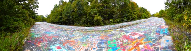
Graffiti Highway (parabolic), Centralia PA. All photos and text by Rick Ouellette except as noted.
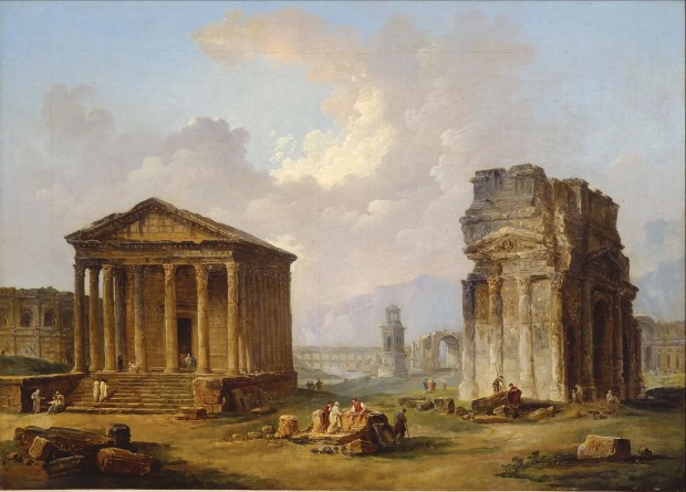
In the late 1700s, towards the tail end of the Age of Enlightenment, the French painter Hubert Robert became well-known for his large-scale canvasses depicting ancient ruins of France and Italy. These romantic (and often semi-fictional) scenes spoke to an age where there was a strong interest in classical antiquity and preserving what remained of it. Hubert and the other artists who followed this trend were surely aware of the evocative power of decay when it came to lost societies.
A typical Hubert Rubert joint.
Flash forward to the 21st century. We may well be deep into the Age of Un-Enlightenment, where hot-takes and online trolling has replaced the philosophical imperative. Yet the “picturesque” art styleembodied by Hubert Robert has been carried on into the burgeoning field of ruins photography, the depiction of urban and industrial decay. Closely tied into the subculture of urban exploring, this field of photography has divided opinion. There are commendable practitioners like Matthew Christopher (in his two “Abandoned America” books) and Christopher Payne (the haunting and humane “Asylum: Inside the Closed World of State Mental Hospitals”) that have looked long and hard into the reasons and consequences of how and why certain American institutions have been left to die on the vine.
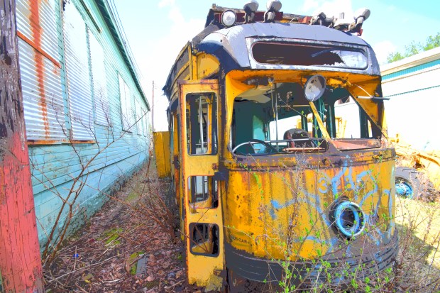
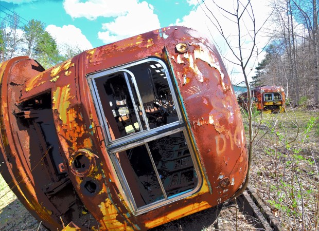
Trolley Graveyard #1, Photo by author.
Critics have pointedly taken aim at some aspects this “urbex” photography, namely the exploitation of people’s natural morbid fascination with the wreckage of off-limits locations, not to mention the implied insensitivity to a region’s economic decline. I have seen a lot of that online, where intrepid shutterbugs return from their trespassing adventures and post pics online to curiously adoring fans who practically gloat over the collapsed remains of defunct shopping malls and shuttered Rust Belt factories.
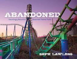
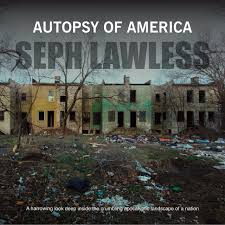
Which brings me to Seph Lawless. Curiously, he released two high-profile photo books in 2017 by two different publishers. “Abandoned: Hauntingly Beautiful Deserted Theme Parks” is exactly as it says, and he put in the big miles to significantly document a big urbex sub-category.
Then somewhere the same year was the boldly presented “Autopsy of America.” In case you don’t get it, you can turn to the back cover where we get in big letters, “Death of a Nation.” Really, the whole nation?? Published by a house called Carpet Bombing Culture (kind of a red flag in itself) the text for this book is so over-the-top that it can only work as self-parody.
“Is this just another recession? Or is this the beginning of the end?”
“America is a giant… mistake.”
“I want Americans to see what is happening to their country from the comfort of their suburban homes and smartphones.”
Oh gawd, spare me the edgelord/drama queen posturing! 😉. As usual, the photography is tremendous, though by this date we’ve all seen enough abandoned houses, darkened shopping centers and the odd isolated ghost town. (Lawless throws in several of his eye-catching theme park images for contrast). Yeah, there is serious income inequality. But it’s preposterous to pretend that cities like Pittsburgh and Cleveland (to name two I have personal evidence of) are hollowed-out landmarks of a country in its immediate death rattle. Many of those cities have growing, transitional economies and don’t need this. But I get it. He’s Seph LAWLESS for heaven’s sake, and the hype (and apocalyptic rhetoric) often goes with this territory.
Graveyard Trolley #2, photo by author.
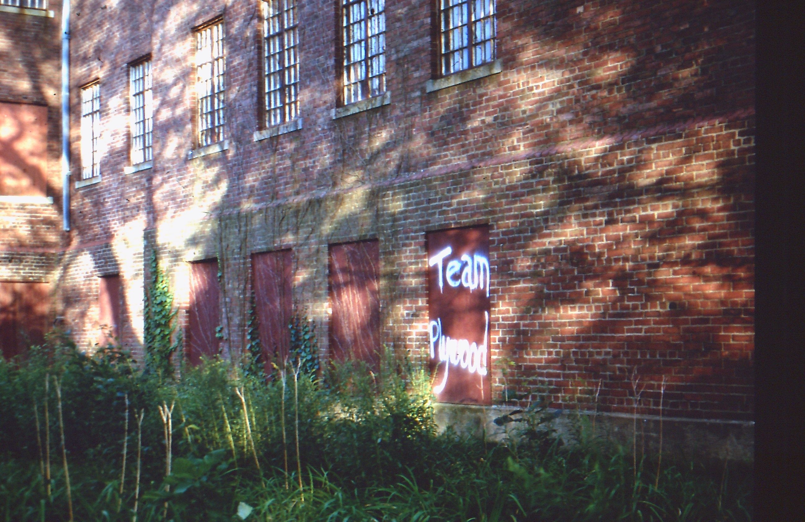
So while I may wince when Seph, like a supervillain in waiting, stands on a half-collapsed roof and gazes at a distant metropolis, you got to hand it to him. The logistics and craft it took to depict these places that so many want to know about. I’m just a part-time amateur at this game and have only been to one of the locations featured in “Autopsy of America.” I took a tour of the (now former) Trolley Graveyard outside of Johnstown, Pennsylvania with the aforementioned Matthew Christopher. He had photographed this huge collection of streetcars, owned by a super-hobbyist, many times before, including the pre-smartphone/GPS days. By the time I got around to committing to a tour, vandals had graffitied almost every car and smashed almost every window on them. It just got too easy in the Internet age to popularize and locate these spots, for good or ill.
But Rust Belt tourism is a thing and these cities often have a long-established culture in arts, cultural attractions and professional sports. As soon as we start realizing the value and vitality of such places, the better it will be for everyone, and we can all avoid the “Autopsy.”
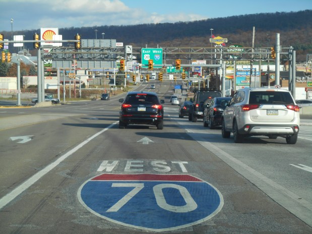
If you ever want to get one of those definitive telephoto pictures of American car culture run amok, there are few places better to trip the shutter than Breezewood, Pennsylvania. Located in the southern central part of the Keystone State, it’s a notorious “choke point” where Interstate 70, the Pennsylvania Turnpike (I-76) and the historic Lincoln Highway (Rte. 30) all meet, sort of.
Breezewood, where the Interstate is also a street.
Because of some arcane law that once proclaimed I-70 could not directly connect to the tolled Turnpike, the Interstate shares a one-mile connector with Rte. 30. This corridor is a densely packed jumble of gas station/convenience stores, fast food joints, chain hotels—all announcing themselves with signs that can reach up to about 70 feet high. There are also two truck washes and plenty of room to park your rig after tear-assing your way thru the six-lane main drag, which seems to be a local sport.
Yes, it’s all very uber-American in a way. There may be no better a democratic leveler than the free breakfast room at the Holiday Inn Express or being in line behind a couple of hunters at Sheetz, the ubiquitous convenience store/coffee shop round these parts. But just beyond the narrow limits of unincorporated Breezewood, it’s a different story. My hotel room had a view of a picturesque farm. And if you head due east, you’ll be driving down the historic and scenic Lincoln Highway as soon as you clear the hill at the end of the strip.
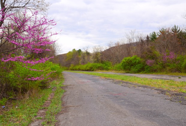
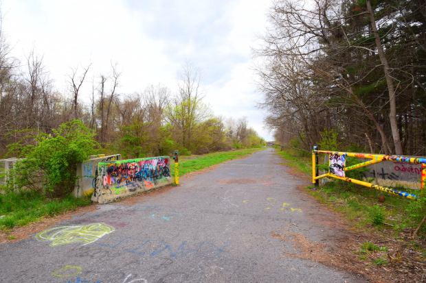
But just before you do, there’s a rutted dirt parking lot next to a paved path you can walk up on. If you do, you’ll be entering one of the state’s strangest and most intriguing points of interest, the Abandoned Pennsylvania Turnpike.
Surrender all hope ye who enter….
The Turnpike opened in 1940 and was an engineering marvel at the time, and a precursor to the massive American Interstate system that followed. But by 1968, car culture had long expanded and so had the Pike, except for this 13-mile stretch. It was logistically too difficult to widen it here and was re-routed. It is now an accessible (but unmaintained and unmonitored) public walking and biking trail.
As a devoted (but not hardcore) member of the urban exploring subculture, I had long wanted to visit the APT. I got my first chance a few springtimes ago. I was on foot, and it was almost two miles from the Breezewood parking area to the first of the two tunnels on the trail. The way to Ray’s Hill Tunnel is a bit eerie, and evocative of an age of simpler automobiles and slower driving speeds. It presents as four rather narrow lanes but drops down to two at the tunnel. It was cool to see one of the turnpike’s original scalloped tunnels, not matter how defaced it is with graffiti.
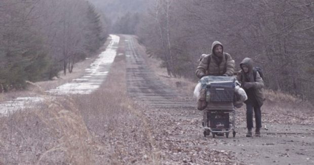
Along with the taggers, curiosity-seekers and photographers, the APT has attracted at least one major film production. The 2009 screen adaptation of the Cormac McCarthy novel “The Road” takes place in the wake of an undefined extinction event (Apocalypse How?) and has many scenes filmed there.
Vito Mortensen and Kodi Smit-McPhee in “The Road.”
It’s curious how highways are such ideal settings for post-apocalypse movies. “The Road” does not feature the fiendishly modified vehicles tearing down outback highways like in the “Mad Max/Road Warrior” series. Things are even worse here, and a key scene is the confrontation between Vito’s protagonist and a wandering member of a violent cannibal gang when the group’s ragtag truck stalls out after emerging from the grim interior of Ray’s Hill Tunnel.
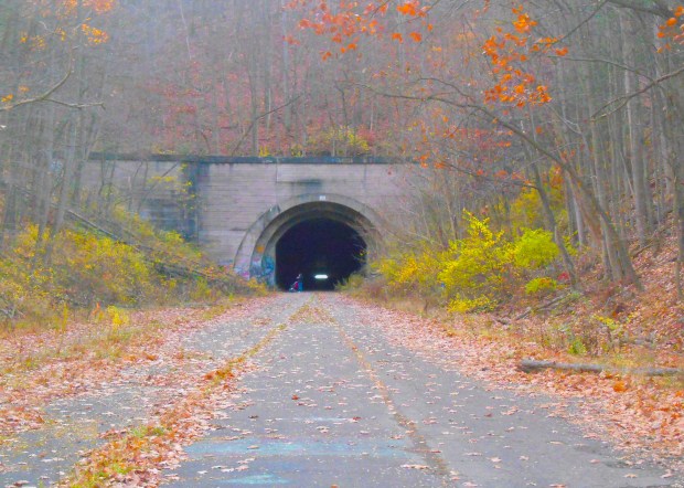
On my second visit to Abandoned Pennsylvania Turnpike last fall, I had my new foldable Zizzo Bike and was ready to explore a bigger chunk of the ruined roadway. After pedaling past the strollers and the Goth kids doing Instagram pics at the mouth of the forbidding tunnel, I sailed thru the underpass with a big assist from a nifty little head lamp I bought for the occasion. On the other side, the atmosphere became more desolate in a hurry.
The far end of Ray’s Hill Tunnel.
Surely, not as desolate as the scenario in “The Road,” where the populace seems divided between killer cannibal gangs and those who retain the minimum standards of civilization, hoping to reach a promised safe haven once they follow the bleak highway all the way to the coast. Still, it is interesting to note that central Pennsylvania is on a sort of political fault line. The more liberal (blue) eastern part of the state can stand in stark contrast to the western hinterlands, where people have been warned to not even have a Joe Biden bumper sticker on their car to guard against reprisals from a hard-core MAGA constituency.
In the book “Divided Highways: Building the Interstate Highways, Transforming American Life,” author Tom Lewis details the passing of the massive legislation that authorized this epic road-building program was initiated by Republican President Dwight Eisenhower and eventually approved by a Democratic-controlled Congress—in an election year, no less! A transcontinental public-benefitting triumph that would “bind the nation.” It would hard to imagine an accomplishment (or agreement) like that with the toxically divided Washington of today.
It was twilight time as I reached the lonely halfway section of the APT (see above), and with little time to make the whole route before dark, I turned the Zizzo back towards the parking lot. Riding into the gloaming is enough to make you conjure your own dystopia—the kind where cars are all but obsolete and the world is hard under the heel of ecocide and/or a disastrous civil conflict.
The next morning I was in the better disposition as I checked out of the Holiday Inn, and said good-bye for now to Breezewood, the Las Vegas of service areas. I hope I can get back again to bike the whole ghostly trail. I topped the hill and drove into the immediate rural area on the Lincoln Highway, the road that kicked off America’s Highway Century (it opened in 1913). But that vague dystopic notion from the twilight of the previous day reentered my head when I thought of the next stop on my road trip: the Gettysburg national park.
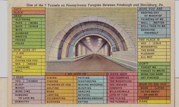
Text and all photos by Rick Ouellette, except “The Road” film still and the circa 1940 postcard.
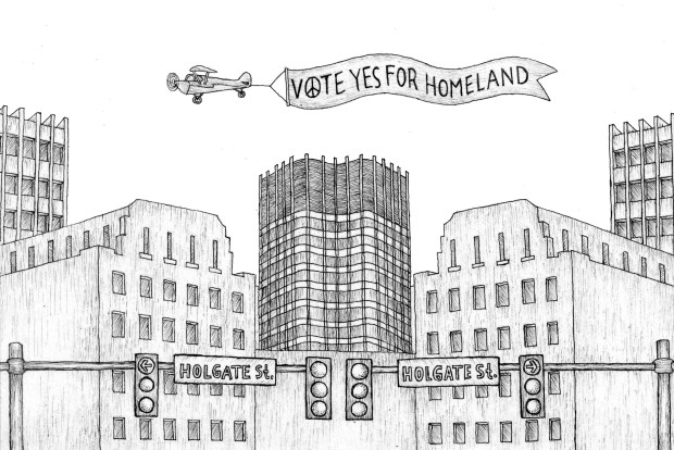
Much progress has been made on my graphic novel: more great artwork by Ipan (including some finished comic pages), the completion of my story in text form and the steady progress in formatting it as a script.
Although stylistically, I have kept the story light on its feet, thematically it often reflects our divided times. And being a dream narrative, this theme can pop up in unexpected places. When our protagonist Swain goes to see a retro sci-fi flick at a revival cinema, it is suddenly interrupted by an old newsreel which seems to portend that the World War Two victory over fascism is being reversed. (Consult your local news for more details).
“Objective: Venus” played in fits and starts. The stolid monochrome actors planned their space trip, unaware that their new navigator planned to horde the mined gold and leave the others stranded on the Evening Star. The movie stopped and a bit of a World War II newsreel played backwards, effectively reversing the Allied victory in Berlin and vacating the victory over fascism.
Just as quickly, the film started up again. The un-helmeted crew were already standing on Venus and the lovely heroine was revealing the bad guy. The screen flared; the crew were either melted by the sun or there was some burning celluloid up in the projection booth. I gave up the ghost and headed down to the lobby, checking out a museum-like display on an upcoming “Classics of Horror Cinema” series.
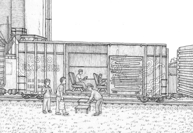
More samplings:
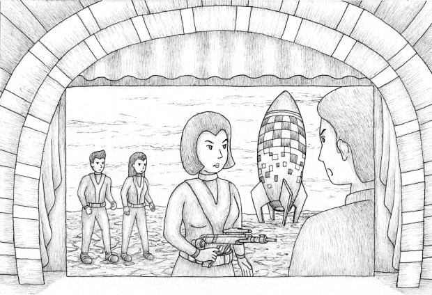
Swain with ninja girls Kee and AprilAll aboard!!
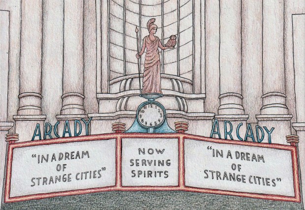
If you’re interested in this project, you can follow this blog and/or Like the “In a Dream of Strange Cities” Facebook page. Thanks, Rick Ouellette
The familiar turns fantastical as “sleep voyager” Swain roams through fractured cities and societies, while meeting people bent on creating an enlightened breakaway state.
That’s my one-sentence blurb. What do you think?
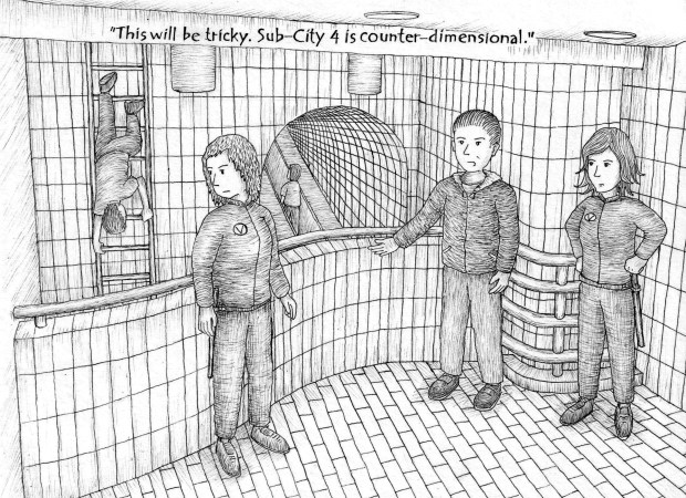
From the chapter “Cthonic Days”
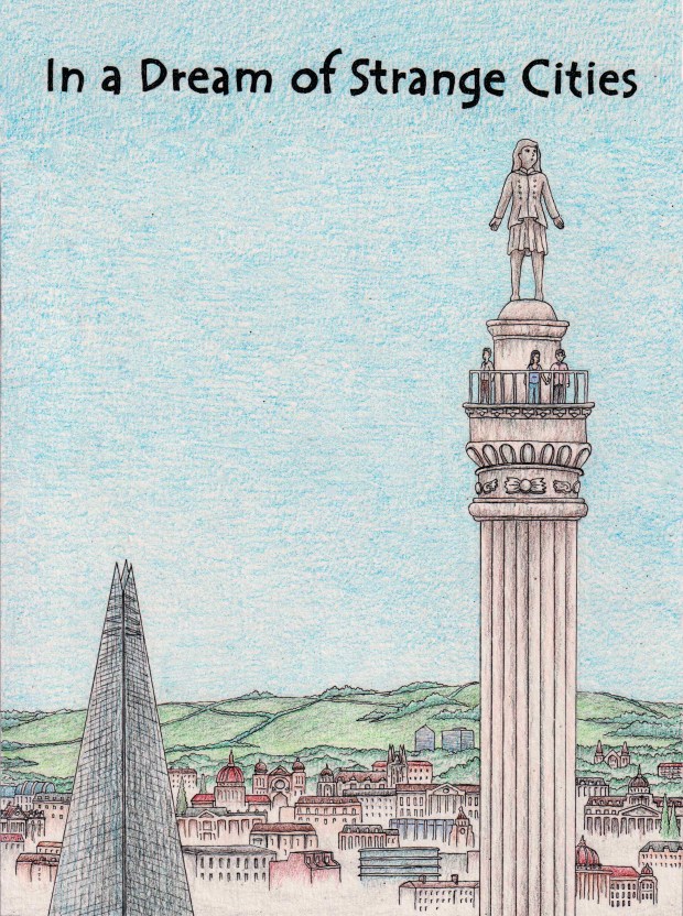
“In a Dream of Strange Cities” is an in-progress illustrated novel composed of several actual dream-state narratives, overlaid with a fictional framework. These loosely connected stories probe personal life transitions and societal shifts that arise from an autonomous subconscious. The text and illustrations will draw from themes of contemporary folklore, urban exploration and psychogeography.
I have just completed the draft text and have a nice handful of concept illustrations by Indonesian artist Ipan. A sample chapter will be posted soon. For more info, follow this blog or leave a message below.
(Watch for Part 3, coming up in early June, 2014!)
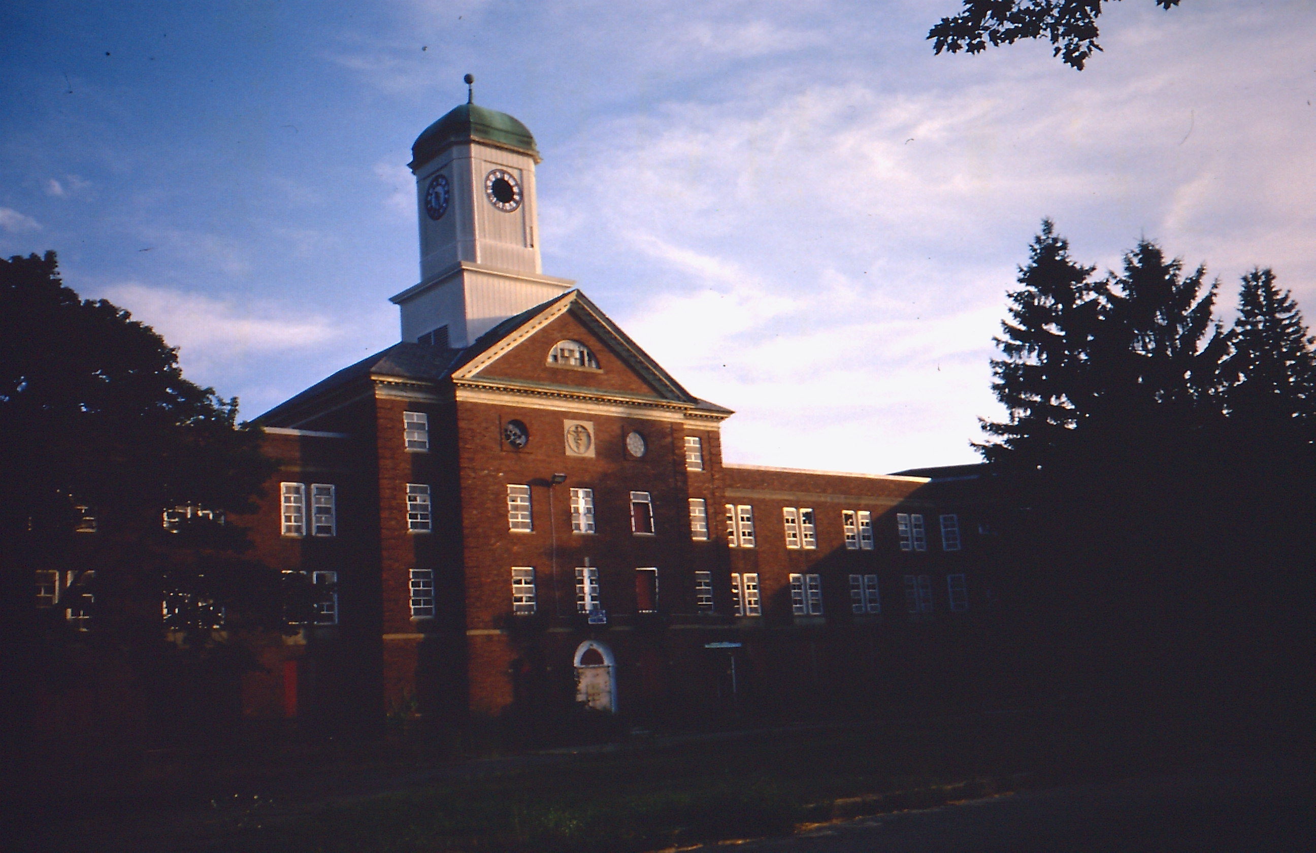
Last One Standing: The Met State Administration Building, August 2013
In Part One, I talked about growing up not far from the legendary Danvers State Hospital, the castle-like institution that loomed over U.S. Route One about twenty miles north of Boston. As kids we didn’t know much, if anything, about how idealistic new methods for treating the mentally ill devised in the late 19th century eventually yielded an abusive hellhole by the middle of the 20th underneath those baleful Victorian spires. What we did know was that it had a very creepy vibe and woe to them who should ever end up being admitted there. I was recently reminded by my sister Pam that my mother would warn us kids that she would “end up in the nuthouse” if we didn’t stop misbehaving, something that we would not want to have on our conscience. But that never erased Danvers State’s morbid fascination, and its strangely alluring infamy spread far and wide in later decades.
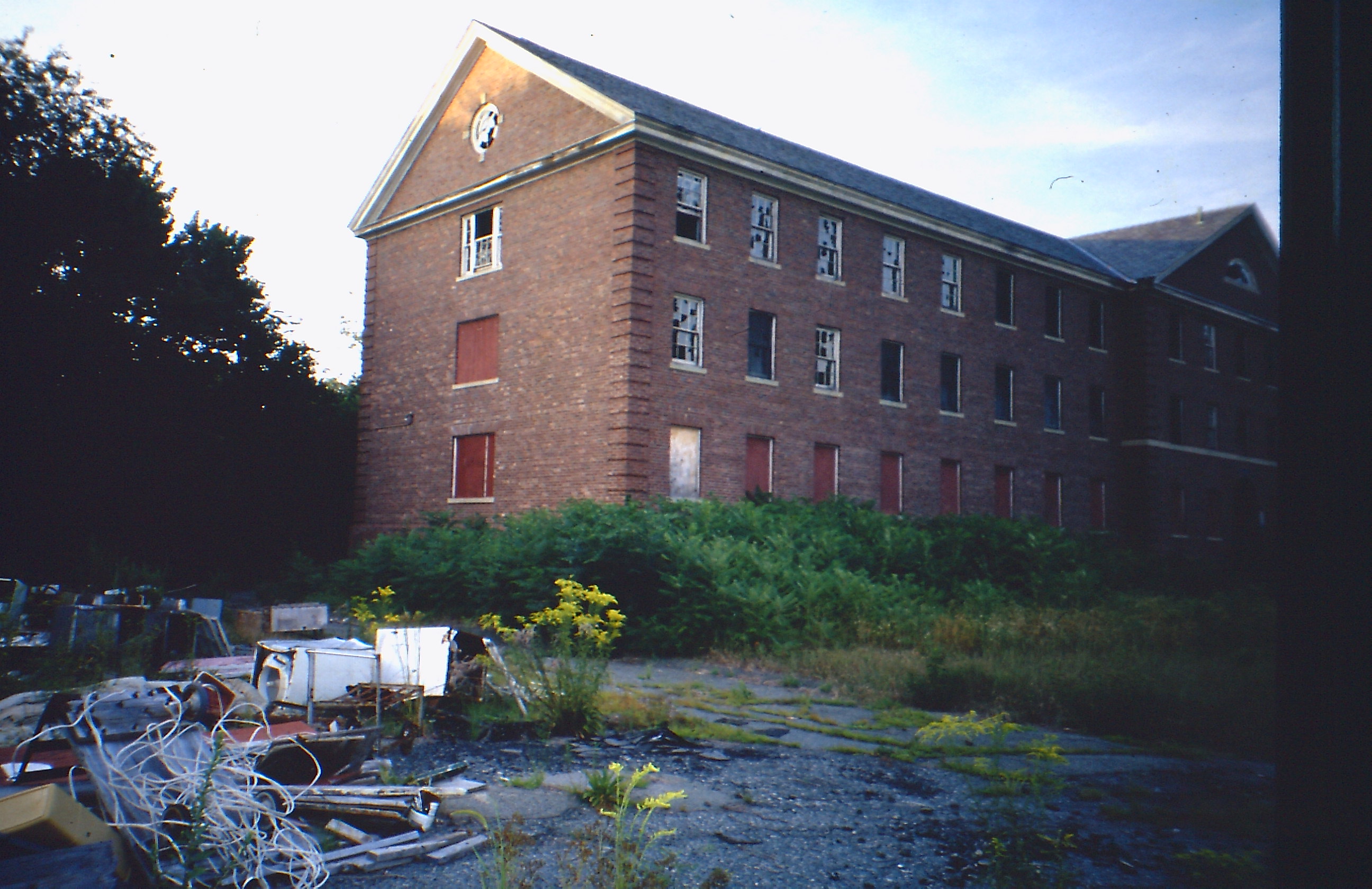
So was it coincidence or confluence when, fast-forwarding to 2001, I found myself living off of Trapelo Road in Waltham? Of course my wife and I bought the house for all the right reasons. Our son was born the previous fall and it was an affordable starter home only ten miles west of Boston. It also backed up to a huge tract of conservation land, accessible through a convenient hole in the chain link fence that acted as its border. I was well aware that the sprawling Metropolitan State Hospital, closed less than a decade before, lay in glorious ruin nearby. The conservation area’s trails and fire roads were a great place to mountain bike and a perfect backdoor portal to the grounds as a security trailer had been placed at the old official entrance. I was soon up there with my camera.
The sun sets on Met State, August 2001
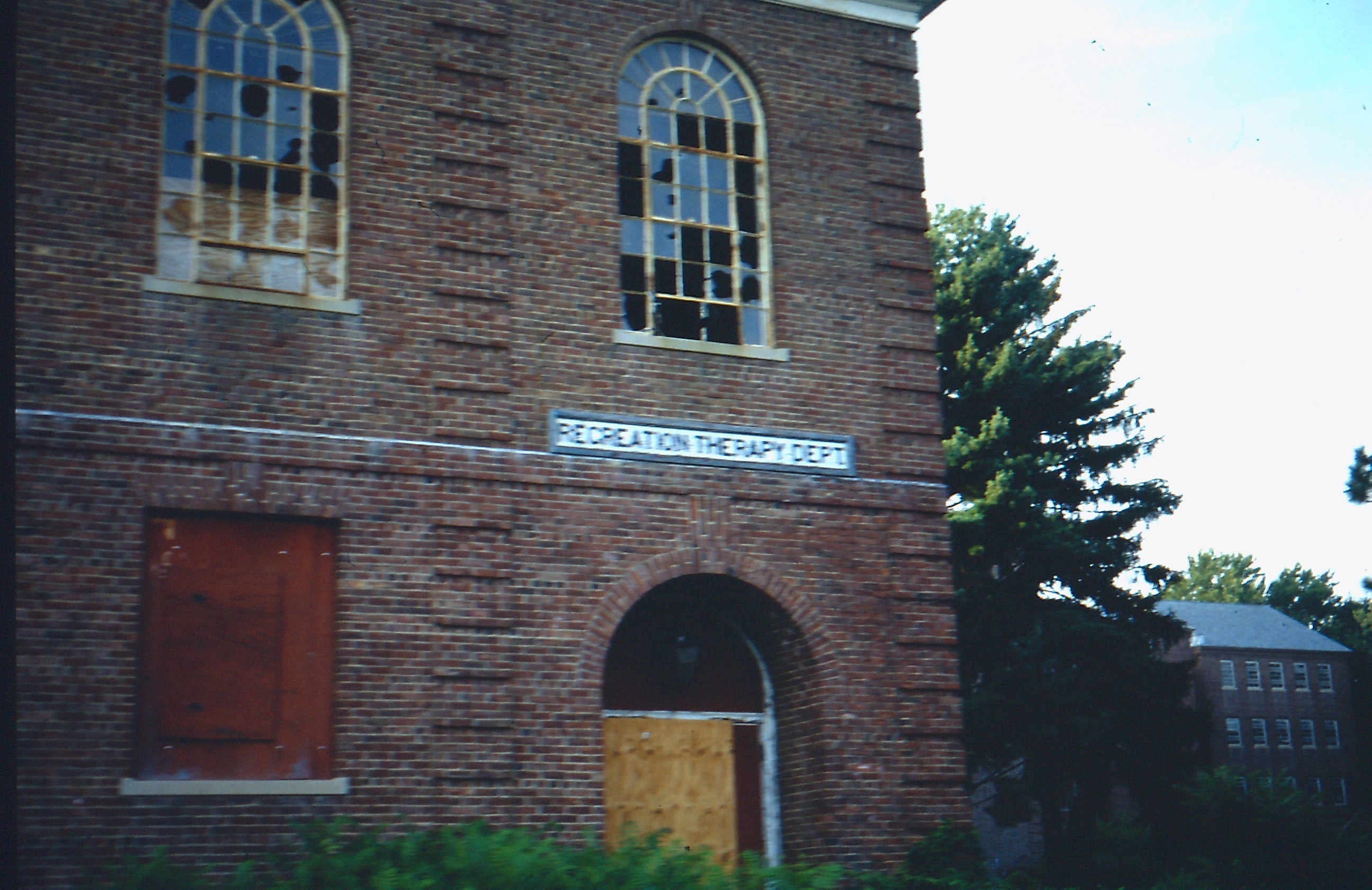
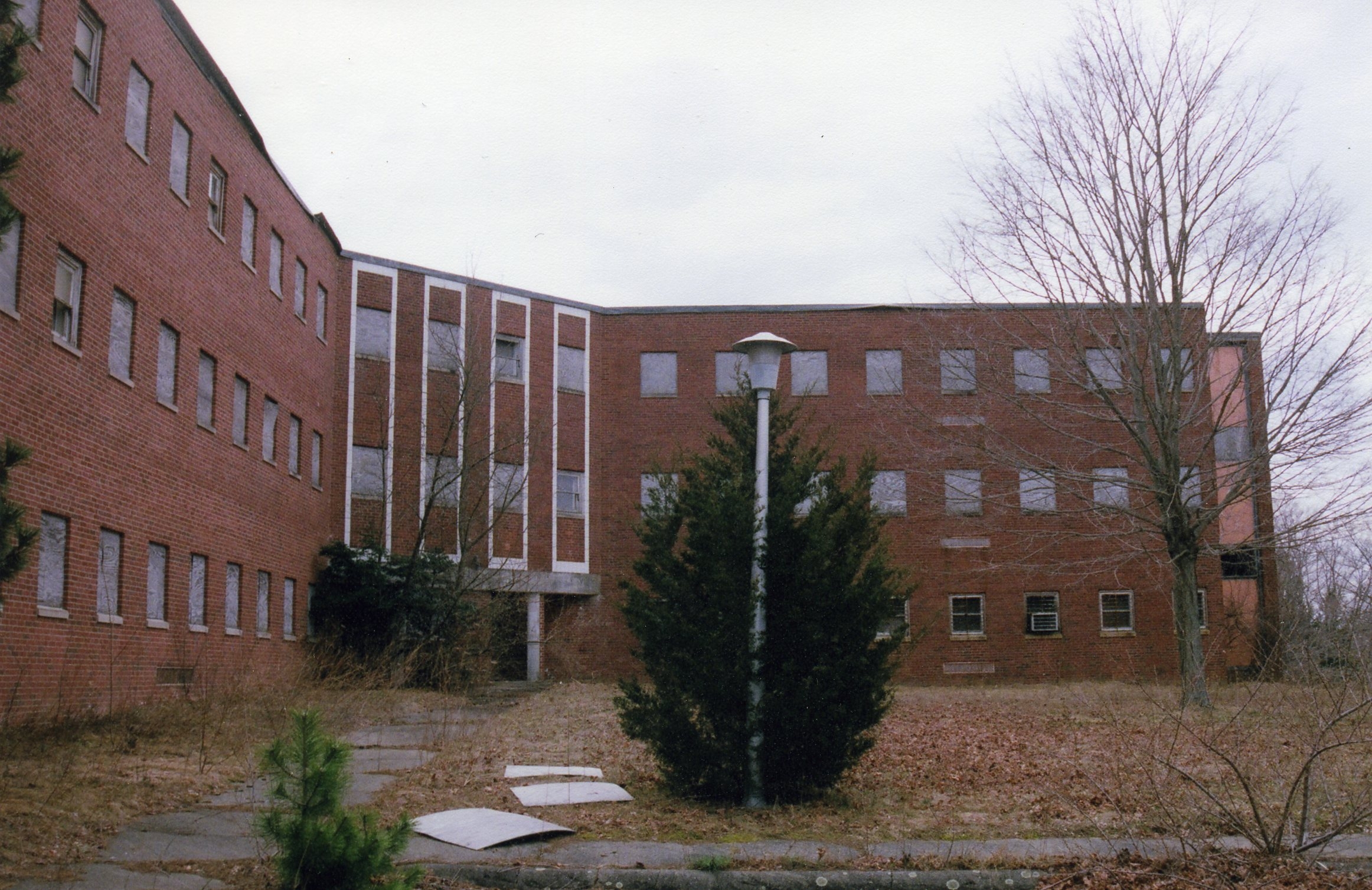
Met State was a magnet for urban explorers braver than me (willing to go inside buildings and/or after dark) who came away with great photos and videos to be seen online. My favorite was the brilliant short film simply called “Met State”, made by Waltham-based Bryan Papciak, a tour de force of stop-motion effects and optical printing. (See it at vimeo.com/13646263). For me, it was more a place to criss-cross on my bike before dipping back down onto the wooded trails. But off the main section was an area that always freaked me out. It was a group of about ten long, uniform brick buildings (almost like an older-style housing project) that were connected and arranged around a grassy rectangle. I will have to dig up the video I once took (for part 3?), cycling around it with one hand on the bar and the other holding a camcorder. It took several minutes to circle these barracks that were called the CTG Unit. Despite its immense size it was reportedly so overcrowded with patients that some were housed in the hallways. It was overwhelming to try and think about the sum total of mental distress that these buildings once contained.
CTG Unit and graffiti, 2001
The northeast corner of Waltham was historically rural and eventually the farms gave way to several mostly state-run institutions. Met State was not alone there as a receptacle of human misery. Adjacent to it was the snake pit known as the Gaebler Children’s Center, closed since 1992 and the top floors of which could be seen from our back deck during leafless seasons. It was demolished a few years ago, its new role as a link in a regional greenbelt conflicting with the oft-ignored “No Trespassing” signs.
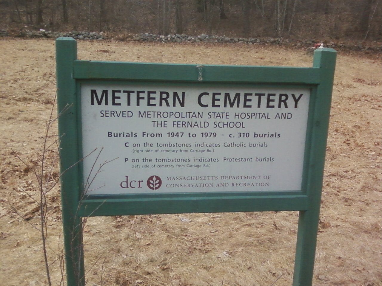
Like at Danvers State, pressure from relatives of deceased former patients have persuaded officials to at least place signage at anonymous gravesites.
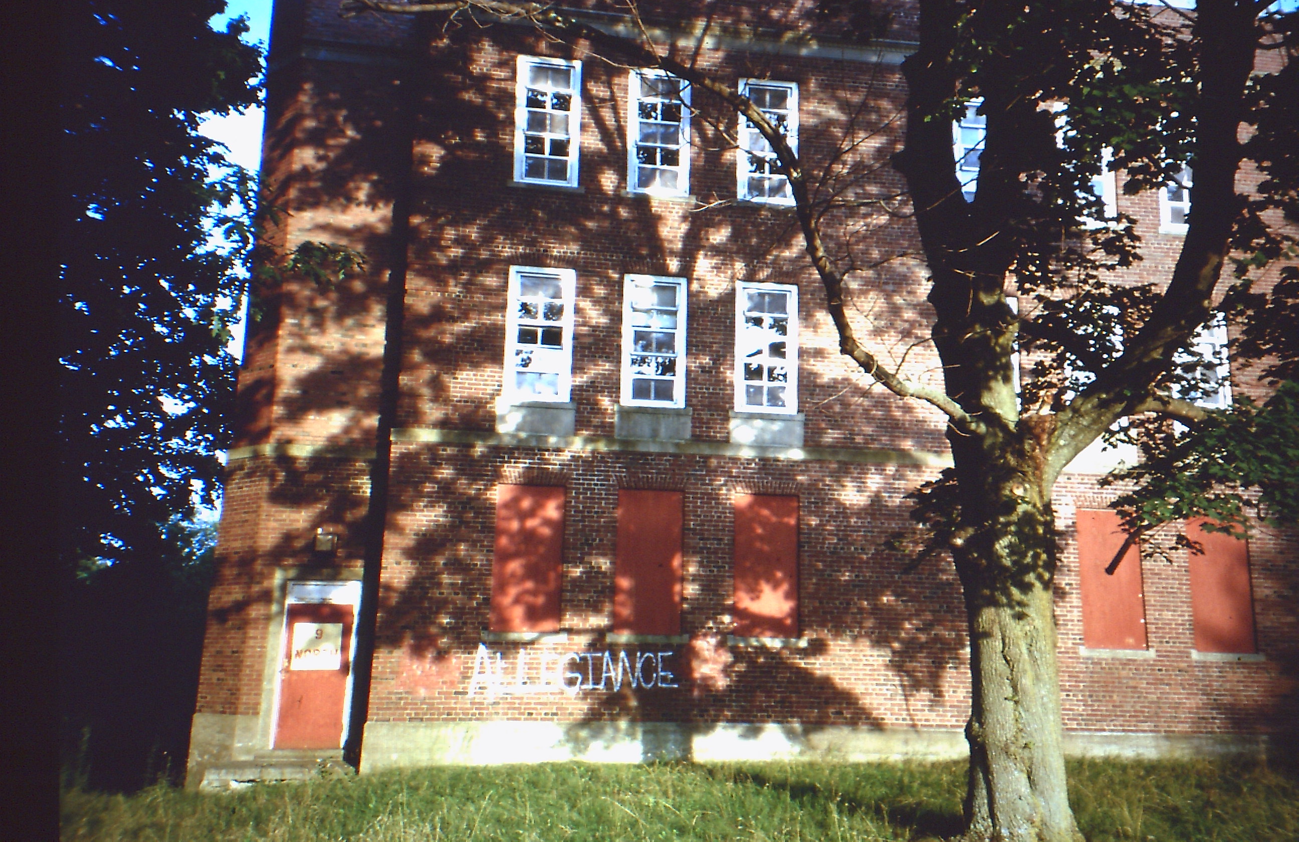
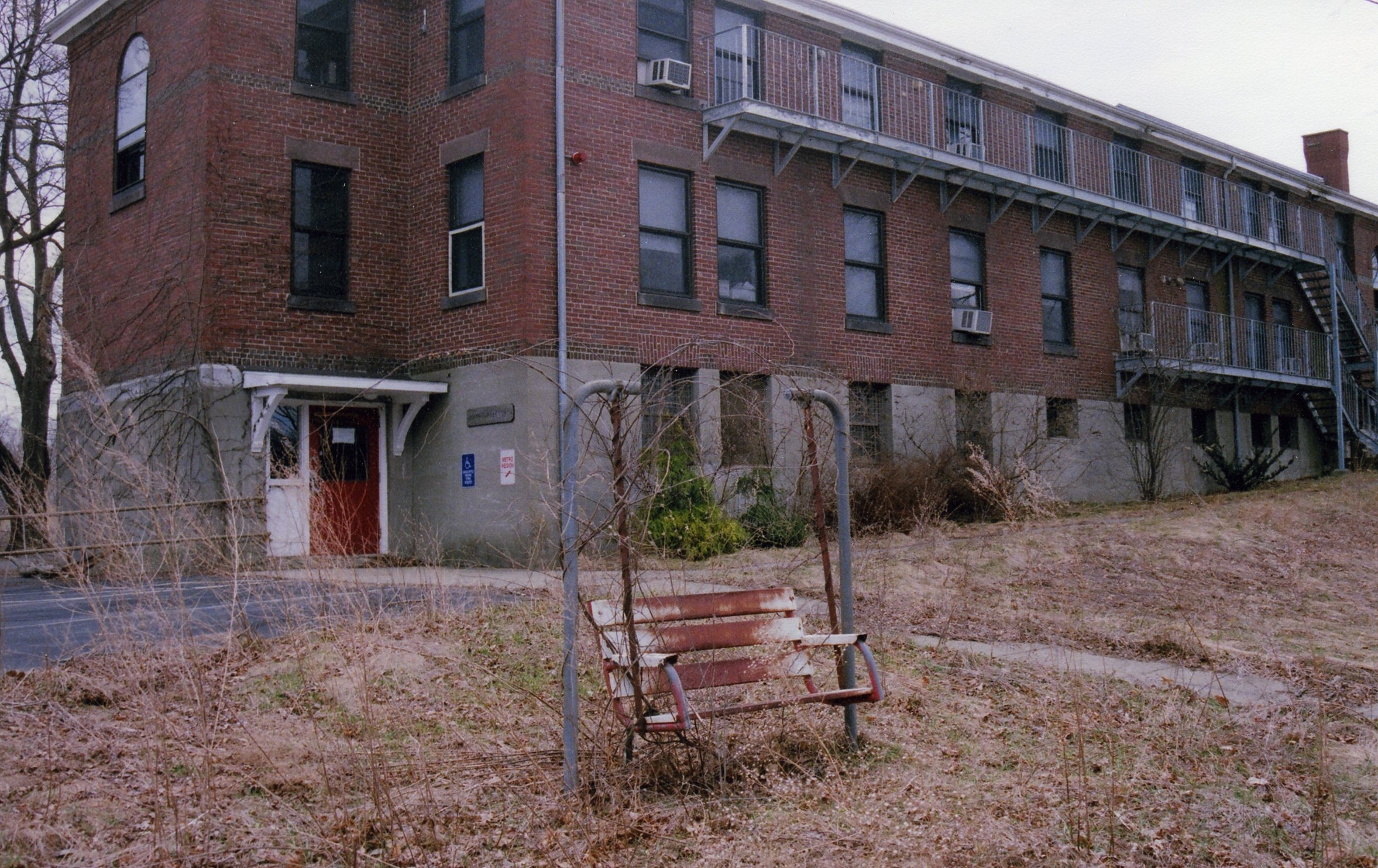
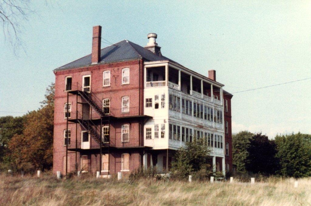
Just across the town line in Belmont is the more upscale McLean Hospital, immortalized (though not named) in former patient James Taylor’s hit “Fire and Rain” as well as by the book and film “Girl, Interrupted.” Most prominent among this cluster of institutions (the “sadlands” as my wife called it) was the historic Fernald School and its sweeping 200-acre campus. Fernald was our first public institution for the mentally retarded and opened in 1848 back when its patients could still be called “idiots, morons and simpletons.” It was still open but in a much diminished capacity. I believe less than a dozen patients (considered the most severely disabled residents in the whole state) remain to this day as the state, the city and citizen’s groups wrestle with the ultimate fate of this valuable real estate.
Recently closed to public access, the campus is still easily entered over ground and I poked along the perimeter a few months ago on a suitably gray day. It may be the last time I set foot there before its likely transformation into something like the “apartment community” built by the Avalon Company at Met State, where the gloomy inner courtyard of the CTG Unit is now the family-friendly “Great Lawn.”
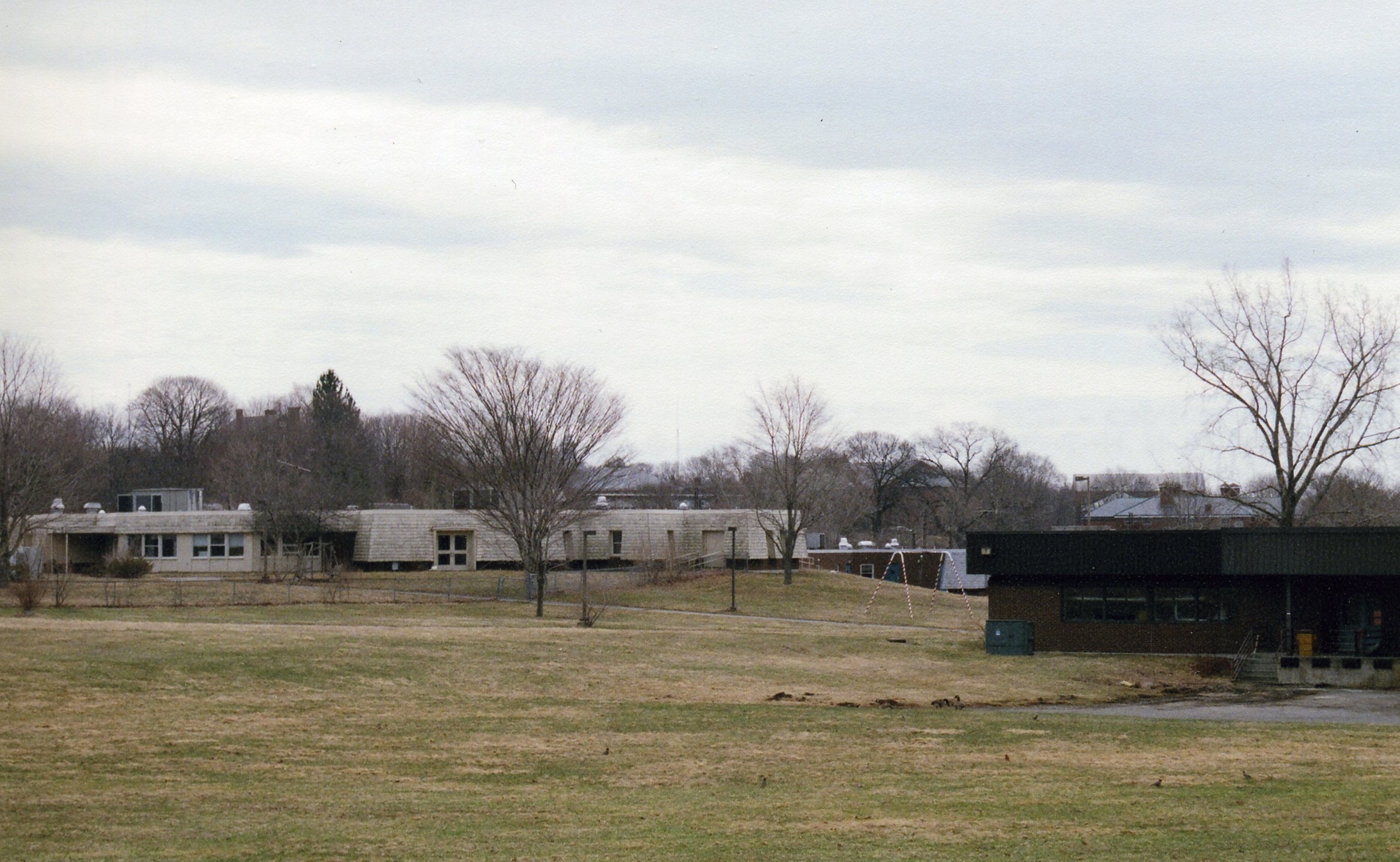
The grounds of Fernald were shady and reassuringly pleasant as was the recuperative ideal of the 19th century.
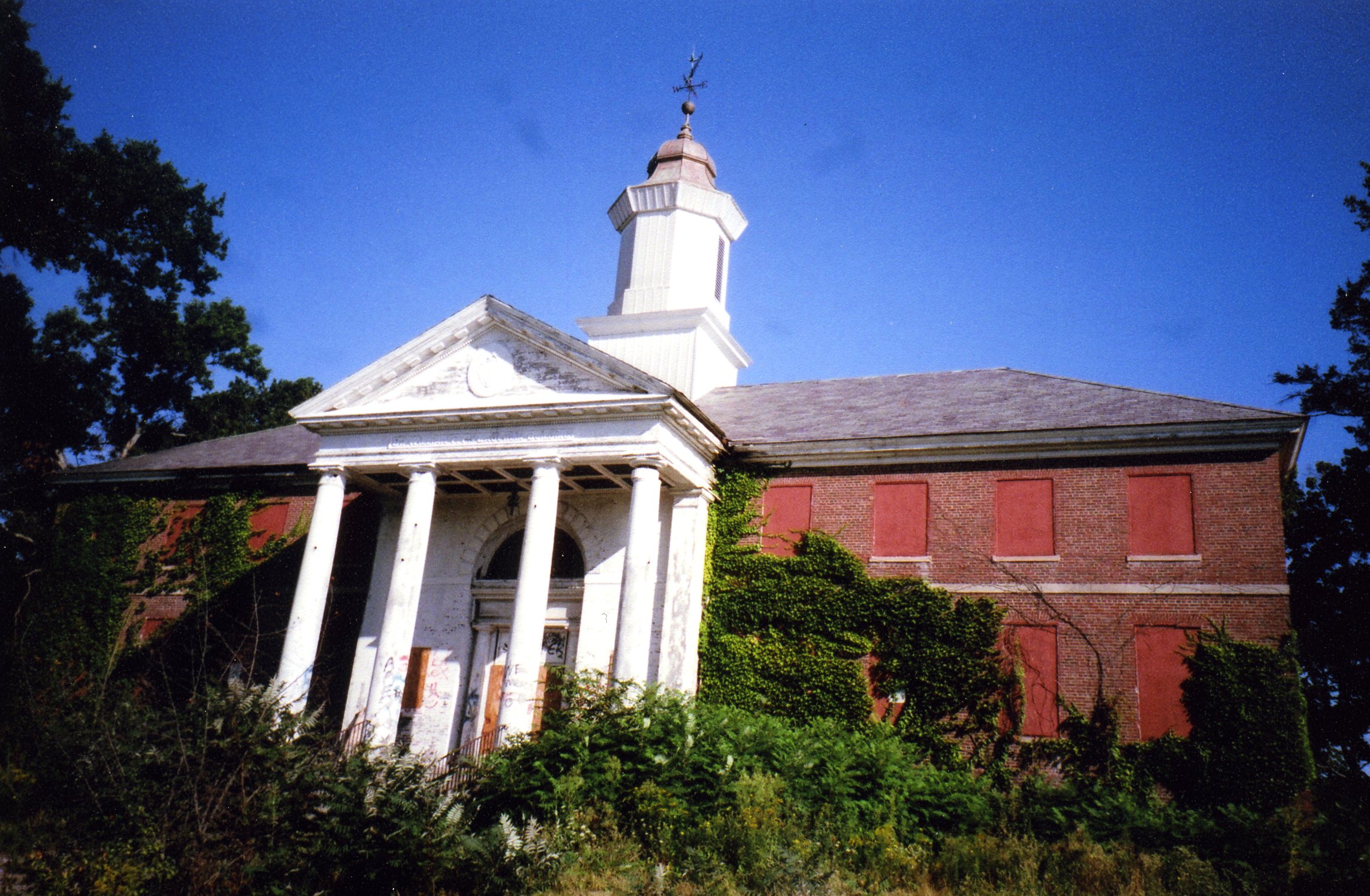
School’s out forever: Fernald grounds, April 2013
Still, many of the patients here were children and, judging from a documentary produced several years back by Boston’s PBS station, it’s amazing how easy it was—for the better part of a century—to have a vulnerable family member or ward of state committed here for an indefinite stay. Once admitted, they were often treated by medical researchers as “cheap and available test subjects”, some even being fed radioactive isotopes. Frederick Wiseman’s 1967 direct-cinema classic, “Titicut Follies”, shows similar travesties taking place at the Bay State’s most infamous such facility, Bridgewater State Hospital. A place that housed many of the most dangerous criminals (the Boston Strangler was housed there for a spell) it was also a dumping ground for unfortunate forgotten men caught up in unusual and suspect circumstances. One example, from the BSH Wikipedia entry, tells of a lowly street vendor in his late 20’s who first was sent there for painting a horse to look like a zebra to draw attention to his fruit stall. After being picked up a second time for drunkenness, he was sent back to Bridgwater and died there of old age. In “Titicut Follies”, Wiseman follows the story of one sane-looking man, likely put there on a vagrancy rap (and coerced into taking strong anti-psychotic drugs), desperate to get out and periodically confronting doctors in the exercise yard in the film’s only YouTube clip.
When this man gets before an unsympathetic panel, we see exactly how these unconscionable policies play out as his opposition to hospital policy is quickly written off as denial and justified fears of incarceration in a place that resembles a medieval dungeon is termed paranoid schizophrenia. God only knows what happened to him.
But I’m getting far afield into a subject I’m no expert on. Please see the full “Titicut Follies” if you ever get a chance (an expose labeled by a court as an invasion of patient privacy, it was long banned and only received a home video release in 2007) A little more readily available is Martin Scorcese’s recent pulp-fiction fantasia “Shutter Island” which features a haunted WWII vet turned Fed agent (Leonardo DiCaprio) investigating a missing patient/inmate at the titular asylum. I was a bit skeptical, if only because as a former location scout I scoffed at the computer-generated Alcatraz-on-steroids that is supposed to sit at the outer reaches of Boston Harbor. Granted, some real harbor locales were used as well, esp. the old Fort Andrews on Peddock’s Island. Although a bit too lurid for its own good (apparently to hold the attention of sensory-overloaded 21st century viewers) Scorcese does touch upon the insidious, Catch-22 methods of so long used by such institutions.
I wonder why these places always seem to be looming just over my shoulder. In my hometown of Salem, Mass. there were once shaded walks that led from the various institutions on the base of Salem Neck out to its point. For the last century it’s been the location of Willows Park, long loved by area residents for its eateries, arcades, kiddie rides and breezy outlooks to Beverly Harbor and the Atlantic. The name of the park suggests the former utility of the giant trees for shading convalescing patients on a stroll from the nearby facility. The first was the charmingly named Pest House for smallpox sufferers in the 1700s (way before the park and its famous chop suey sandwiches). Various almshouses also stood there over the long stretch of the 19th century. My father remembers the poor farm that was in the area when he was a kid. Later, only one building remained, one of the lesser-known works of architect Charles Bullfinch, designer of the Mass. State House and the U.S. Capitol expansion. It was known in its final incarnation as the Chronic Care and Rehabilitation Hospital. My father’s grandmother was a patient there in her last years and the place closed in 1970 and stood there at least until the mid-80s as the date stamp on the back of this photo I took was 1983.
When it came time to break ground for the inevitable condo development a few years later, a local resident protested to builders and city officials that they would disturb the pauper’s cemetery on the edge of the property. As recently described by this longtime Salem resident in an online town forum, the sad neglect of this graveyard meant it was known mostly to local kids who explored the vacated shoreline of the cove there. Met with denial by the authorities, the resident who posted this comment claims he was later vindicated when the excavator started digging up human bones!
But my childhood visit to see my great-grandmother was not the last time I set foot inside that building on the Pest House site. In 1977, an older friend in a clique I ran with at the time headed an obscure youth-services program out of a first floor office. The rest of the building was empty. As one of the few events this friend ever managed to pull together, she screened a movie against a sheet affixed to the back of the building. We sat probably a stone’s throw away from the cemetery that remained undetected in the pale beyond just behind us. The film was “Night Watch” a 1967 chiller starring Elizabeth Taylor as a woman who has seen a terrible crime that no one wants to hear about. The guy who wrote that post must know the feeling.